Disaster Management
SkyMinds provides advanced UAV solutions for disaster assessment, emergency planning and post-event recovery, enabling rapid aerial data acquisition in affected and inaccessible regions. Our systems help response teams document conditions, assess damage, identify high-priority areas and support recovery planning with accurate geospatial information.
- High-Resolution RGB(50MP+)
- Thermal(640×512 / 1280×1024)
- LiDAR(3D Mapping)
- Rapid Deployment
- Large AreaCoverage
- Real-time DataProcessing
Our Platforms
Compatible Payloads
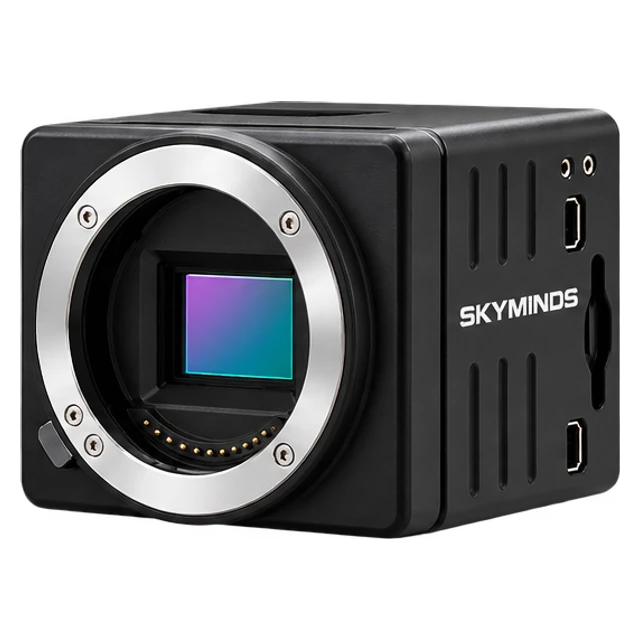 RGB Camera
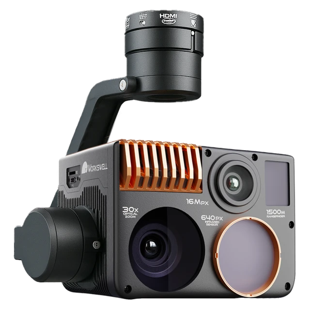 Thermal Camera
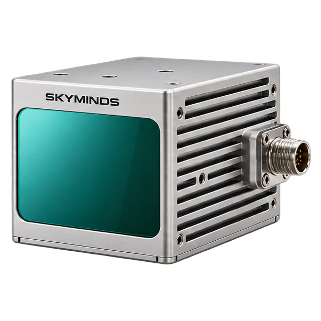 LiDAR Sensor
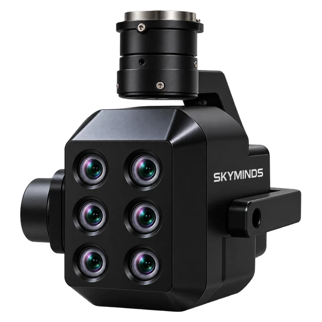 Multispectral Camera
Application Capabilities
Flood Mapping
Assess inundation and water extent.
Wildfire Monitoring
Track fire spread and hotspots.
Disaster-Zone Surveying
Map affected areas and conditions.
Infrastructure Damage Assessment
Document and analyse structural damage.
Terrain Change Analysis
Track landscape changes post-event.
Post-Disaster Reconstruction
Support recovery planning and rebuilding.
Impact Core Sectors of the Economy
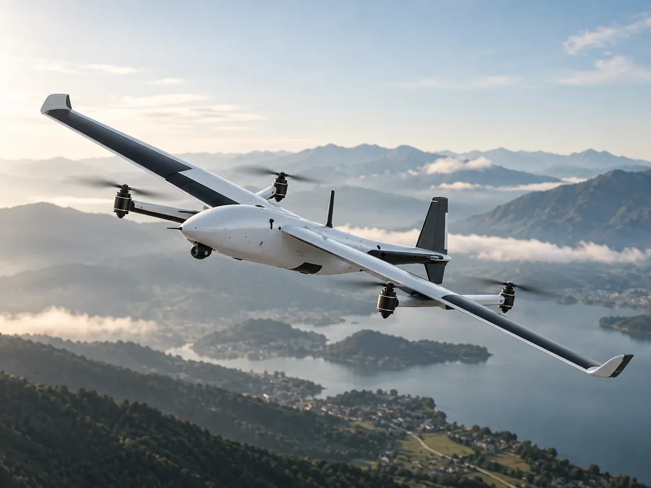
Disaster Response & Emergency Services
Rapid-deployment aerial reconnaissance immediately after earthquakes, storms, and floods, relaying live situational overviews to emergency incident commanders within minutes.
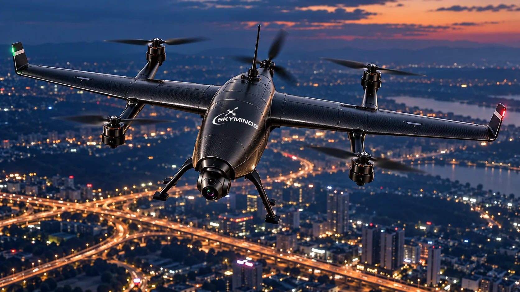
Government & Civil Administration
Orthomosaic mapping and high-resolution spatial damage layers enabling civil agencies to plan evacuation corridors, prioritize relief supplies, and manage recovery logistics.

Search & Rescue Operations
High-sensitivity thermal imaging payloads penetrating dense smoke, foliage, and darkness to locate lost or stranded individuals across inaccessible terrain quickly.
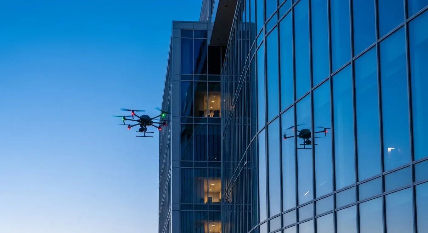
Insurance & Risk Assessment
Indisputable, georeferenced photographic evidence of roof, foundation, and structural failures to expedite claims processing, fraud prevention, and post-event risk ratings.
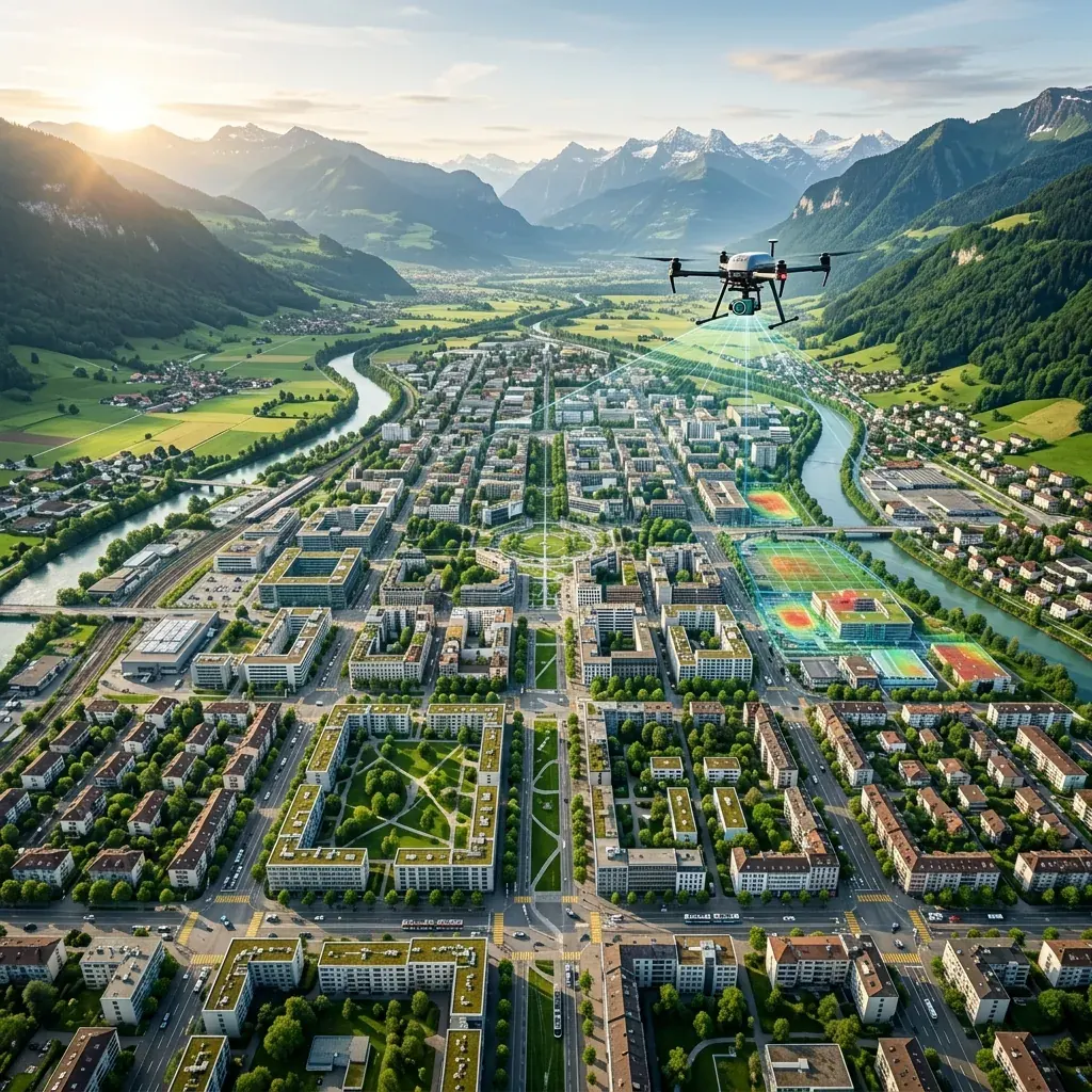
Infrastructure Recovery & Rehabilitation
LiDAR and 3D elevation modeling to survey washed-out bridges, compromised levees, and damaged road grids, speeding up reconstruction planning for engineering teams.