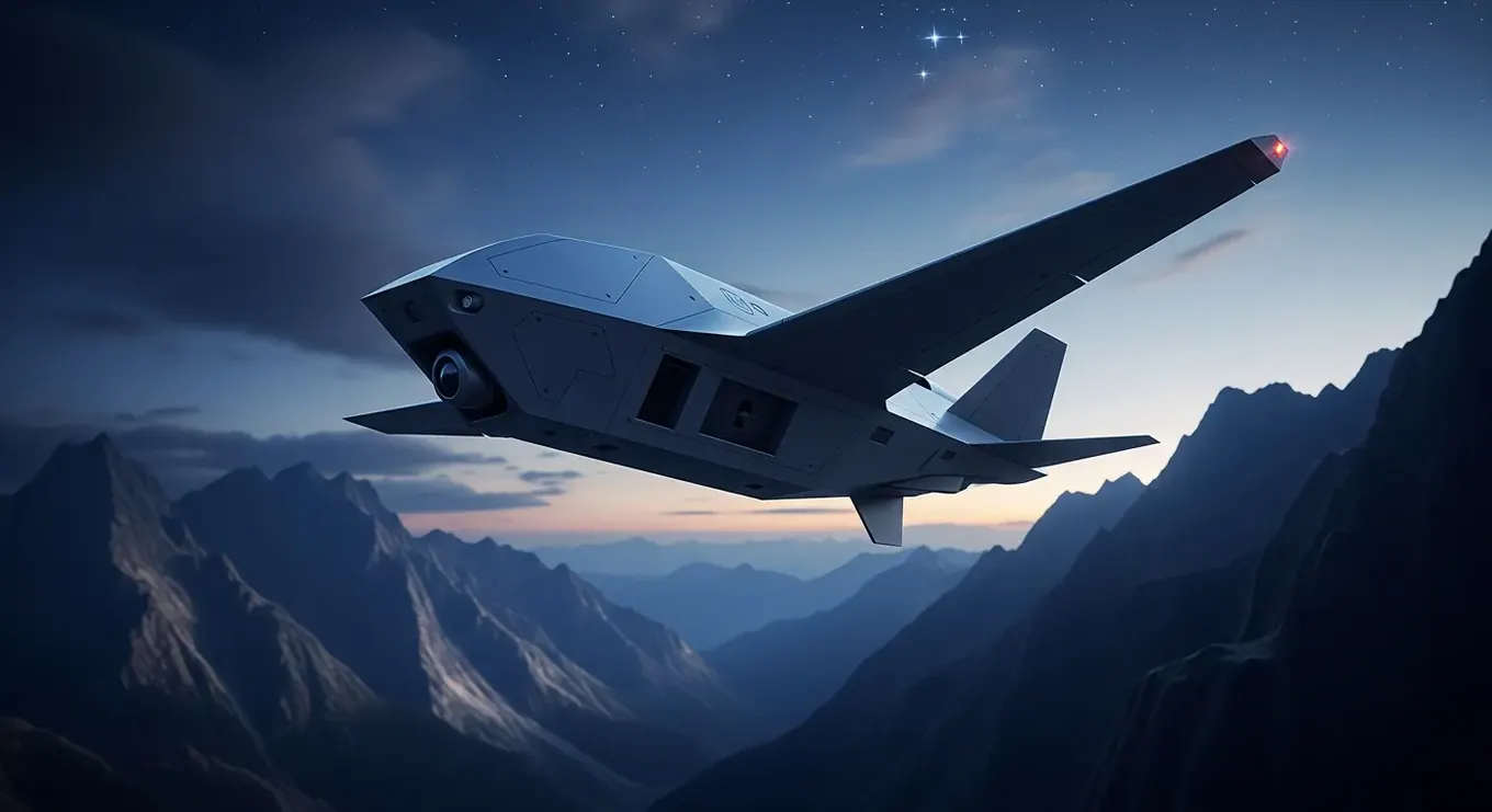
Solutions by Industry
Discover how our platforms are engineered from the ground up to solve the most demanding operational challenges.
When precision is your highest priority
Mapping the Unreachable
Terrain can be unforgiving and deadlines unrelenting. For the teams that need sub-centimeter accuracy across vast topographies, these platforms are your steadfast partners. They carry the most advanced sensors to bring the world into sharp focus.
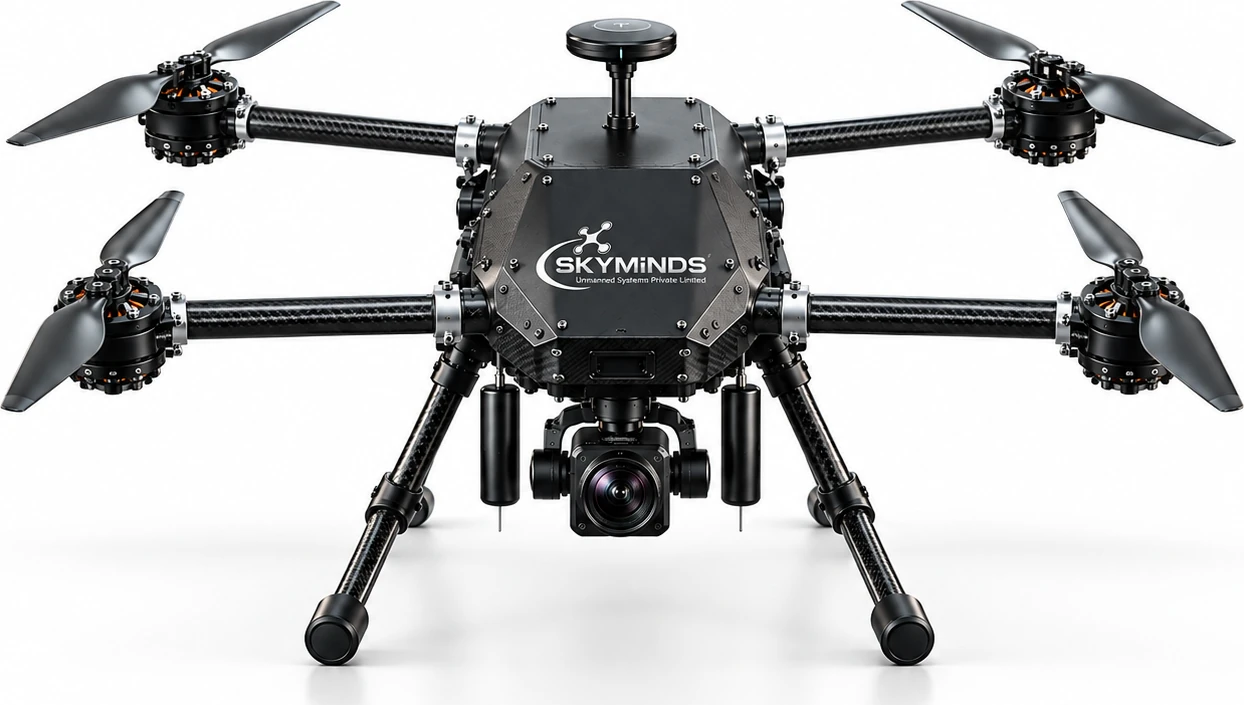
Engineered for demanding industrial cartography, Wizmap couples an ultra-rigid carbon-composite airframe with a toolless quick-release payload bay for high-precision photogrammetry and LiDAR surveys.
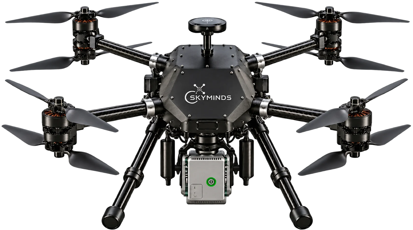
Engineered to withstand extreme environmental conditions, Terrain Wizard delivers sub-centimeter mapping accuracy across rugged terrain, high-altitude ridges, and thermal extremes.
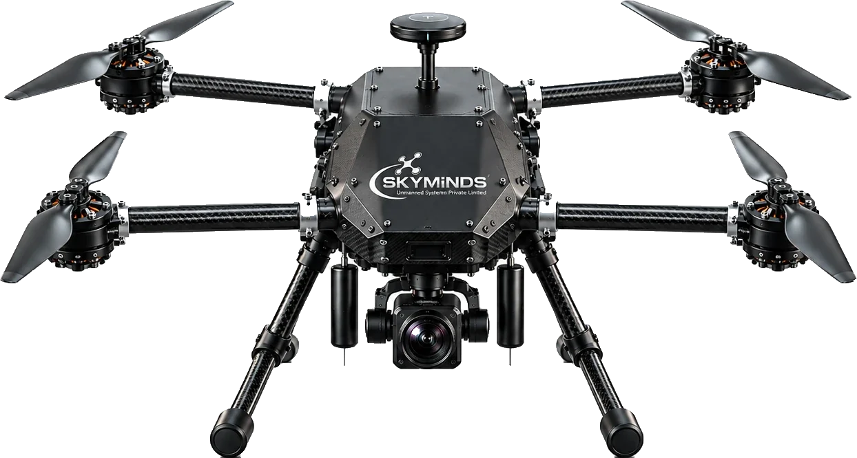
Engineered for extended-range missions, Long-Haul delivers industry-leading loiter endurance and high-altitude aerodynamic stability with heavy-lift sensor capabilities.
An unblinking eye in the sky
Securing the Perimeter
Safety doesn't clock out. Whether protecting critical infrastructure, aiding first responders, or monitoring vast borders, you need round-the-clock vigilance. These platforms empower you to see clearly when it matters most, day or night.
Engineered for demanding industrial cartography, Wizmap couples an ultra-rigid carbon-composite airframe with a toolless quick-release payload bay for high-precision photogrammetry and LiDAR surveys.
Engineered to withstand extreme environmental conditions, Terrain Wizard delivers sub-centimeter mapping accuracy across rugged terrain, high-altitude ridges, and thermal extremes.
When the stakes are absolute
Defending the Frontline
Tactical superiority requires more than just hardware; it requires intelligent, autonomous, and secure systems that perform flawlessly under extreme pressure. From strategic ISR to tactical overwatch, these platforms are built for the frontlines.
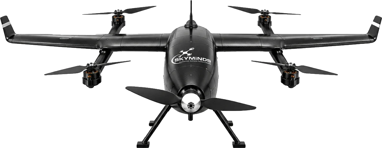
Drishti: an eye in the sky for home guard forces. Providing aiding day/night police surveillance from high AGL.
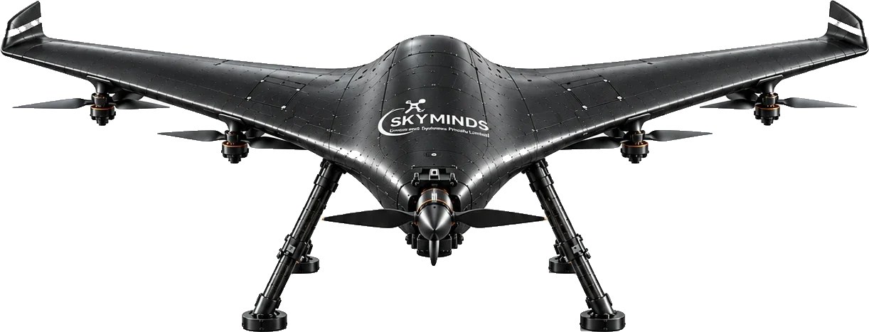
High Altitude. AI-enabled Long Range High Endurance strategic surveillance for armed forces with object identification and tracking feature.
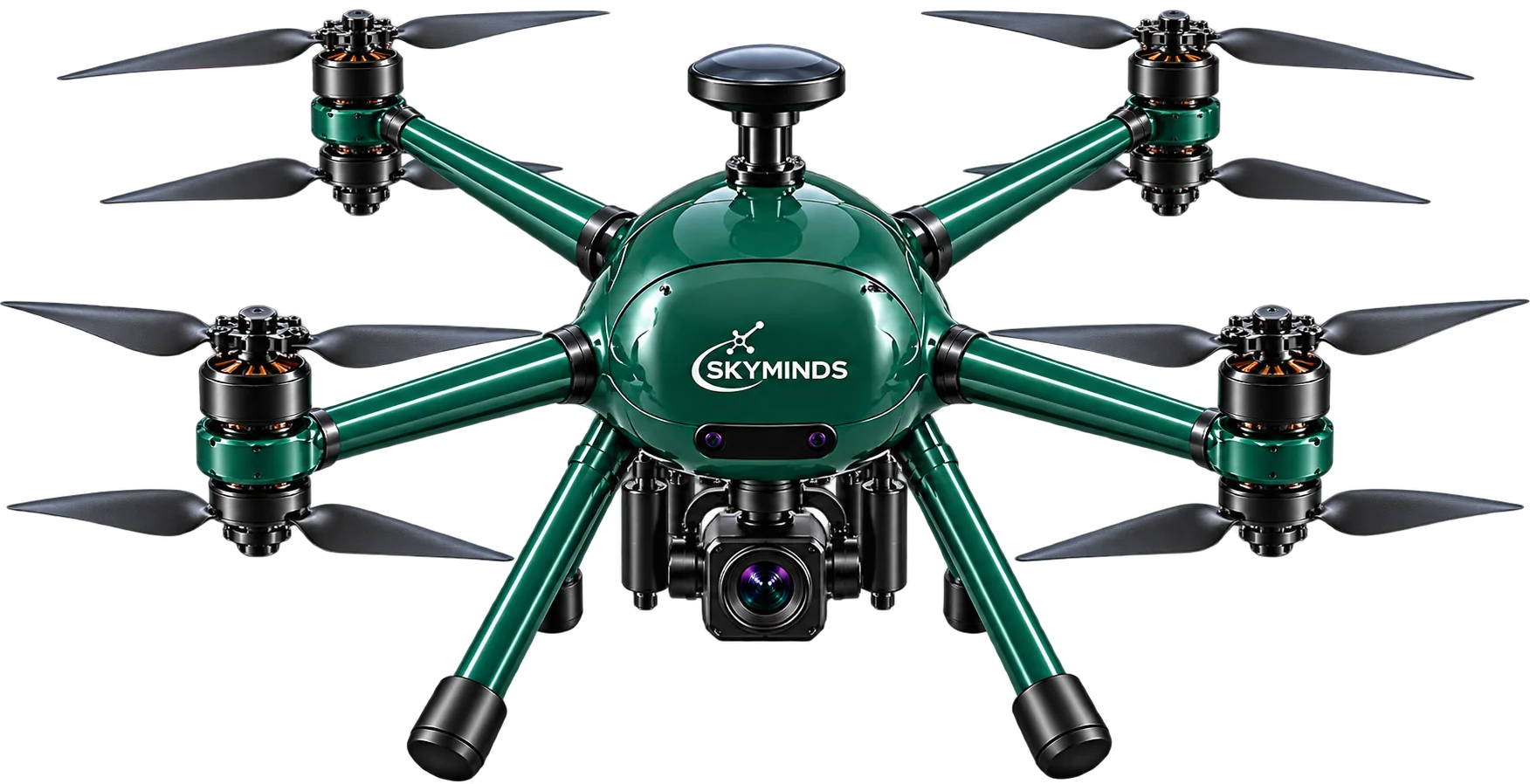
X-coaxial multi-rotor platform for strategic mapping and loitering munition missions.