Mapping & Survey
SkyMinds delivers advanced UAV solutions for precision mapping and surveying, combining versatile aerial platforms with interchangeable payload configurations to address diverse geospatial requirements. From large-scale terrain mapping to mining and quarry surveys, our systems provide high-resolution data, accurate 3D models and actionable insights for better planning and decision-making.
- ±5 CMGround Sampling Distance
- Ultra High ResolutionMultispectral Imaging
- LiDAR3D Terrain Modelling
- Large AreaCoverage
- High AccuracyOrthomosaic Generation
- Real-timeProgress Monitoring
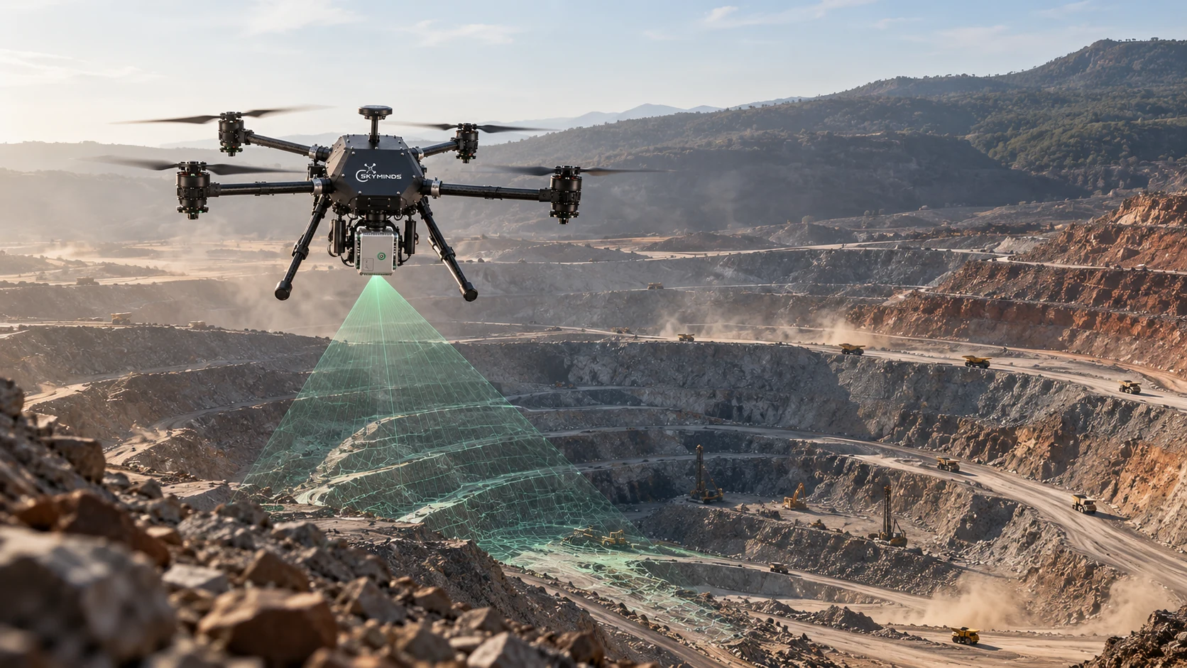
Mining and quarry surveys
Open-pit mines and quarries are mapped without anyone walking hazardous ground. Repeatable flights give surveyors accurate surfaces, volumes and progress records for every bench and stockpile.
- Pit, bench and extraction-area mapping
- Stockpile volume estimation
- Excavation progress tracking
Our Platforms
Compatible Payloads
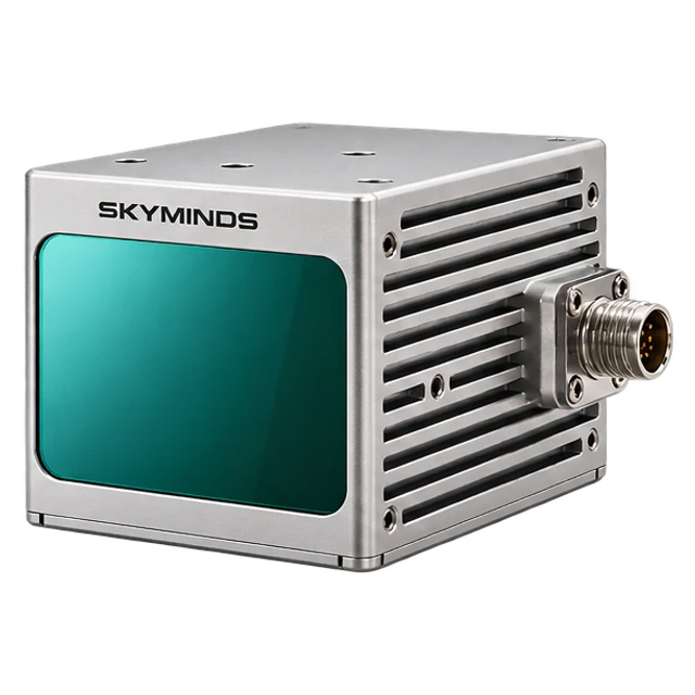 LiDAR Sensor
 RGB Camera
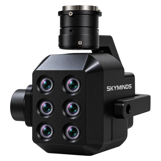 Multispectral Camera
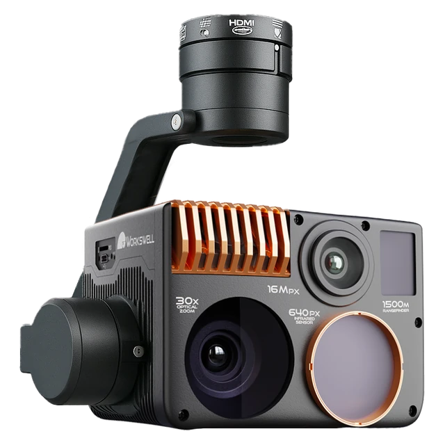 Thermal Camera
Application Capabilities
Topographic Mapping
Detailed terrain data for precise surveying and planning.
Corridor Surveys
Map linear assets, routes and right-of-way.
Digital Elevation Models
Generate elevation surfaces and terrain profiles.
Orthomosaic Generation
Create georeferenced, high-resolution site imagery.
3D Terrain Reconstruction
Build detailed three-dimensional site models.
Mining & Quarry Surveys
Map pit, benches and extraction areas.
Stockpile Volume Estimation
Calculate material volumes from aerial data.
Excavation Progress Tracking
Compare site development across survey cycles.
Large-Scale Site Monitoring
Track changes with repeatable aerial surveys.
Impact Core Sectors of the Economy

Urban Planning & Smart Cities
High-resolution aerial photogrammetry and LiDAR surveys produce centimeter-accurate 3D elevation models and point clouds, supporting zoning, master plan simulation, and digital twin creation.
Mining & Quarrying
Rapid aerial volumetric analysis for cut-and-fill stockpiles, highwall stability monitoring, and pit boundary surveys conducted safely without deploying personnel to hazardous quarry faces.

Construction & Real Estate
Multi-epoch progress monitoring, topography mapping, and BIM-compatible orthomosaics that streamline contractor accountability, earthwork estimations, and architectural site visualization.

Agriculture & Forestry
Large-scale topographic surveys, drainage analysis, and canopy elevation modeling delivering essential GIS insights for estate planning, timber inventory, and land-use classification.

Transportation & Infrastructure
Linear corridor mapping along national highways, railway alignments, and bridges, providing rapid CAD-ready topography, right-of-way audits, and structural clearance analysis.