Environmental Monitoring
SkyMinds delivers advanced UAV solutions for environmental monitoring, ecological assessment, and landscape analysis, transforming aerial data into actionable insights. Our systems support vegetation health assessment, land-cover classification, habitat monitoring, watershed surveys and change detection, helping organisations make informed decisions for conservation, resource management and sustainable development.
- Multispectral(5–10 bands)
- High-Resolution RGB(50MP+)
- LiDAR(3D Structure)
- NDVI / Health Indices
- Large AreaCoverage
- Long Endurance& Repeatable
Our Platforms
Compatible Payloads
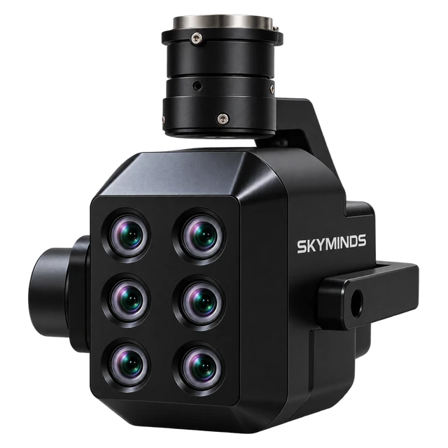 Multispectral Camera
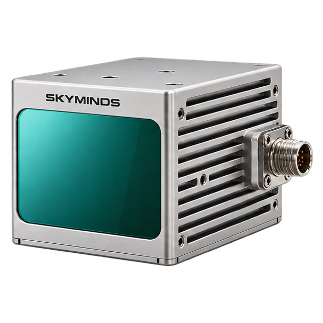 LiDAR Sensor
 RGB Camera
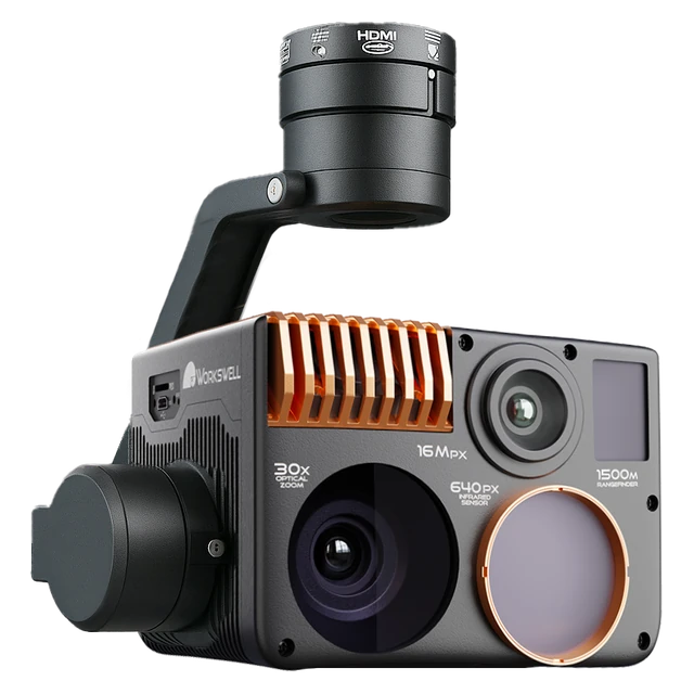 Thermal Camera
Application Capabilities
Vegetation Health Analysis
Assess vegetation condition and stress levels.
Multispectral Mapping
Analyse land cover and plant health.
Forest & Canopy Mapping
Map forest structure and canopy density.
Land-Cover Classification
Identify and classify landscape features.
Habitat Monitoring
Monitor wildlife habitats and biodiversity.
Environmental Change Detection
Compare surveys to track landscape changes.
Impact Core Sectors of the Economy
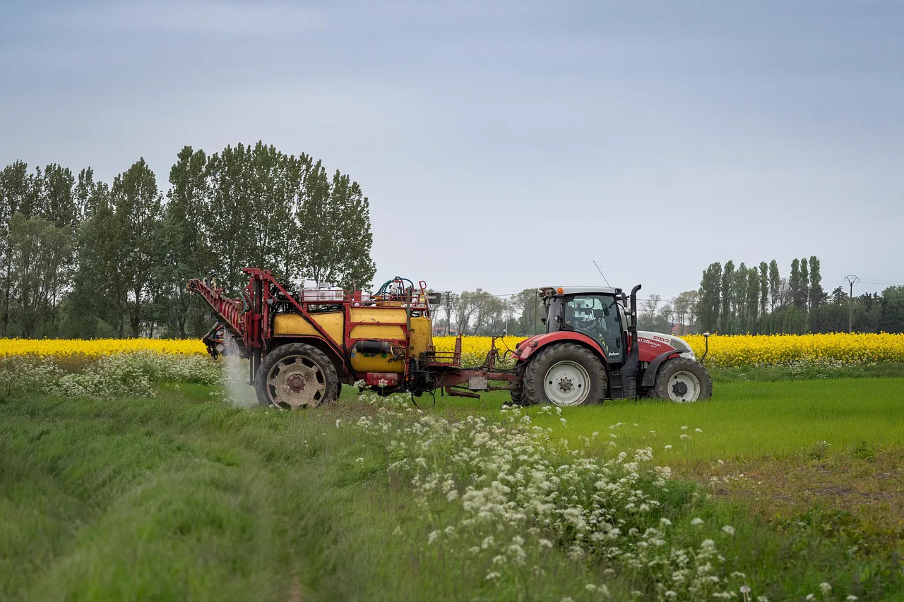
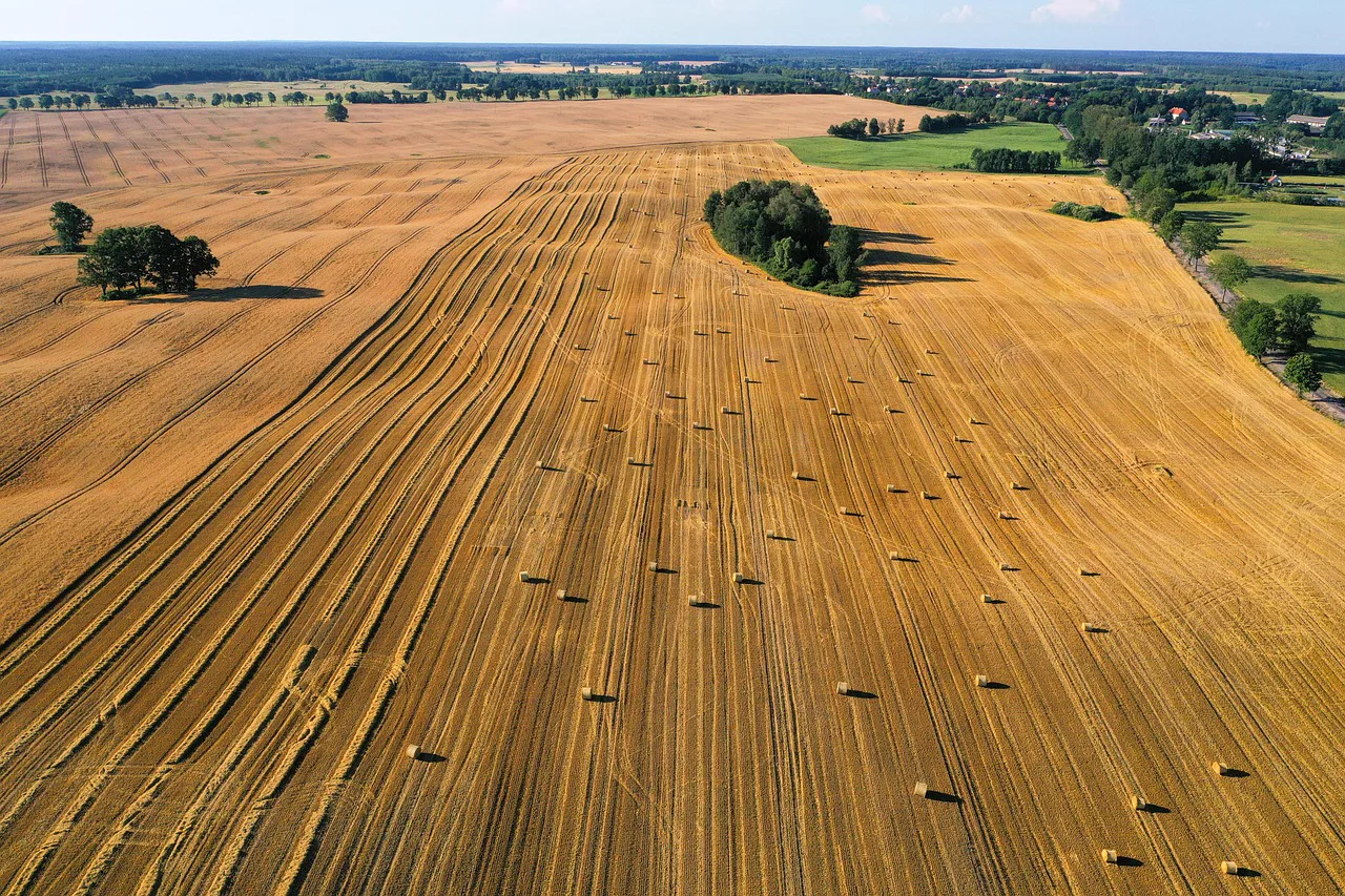
Agriculture & Precision Farming
Multispectral imaging and NDVI index mapping assess canopy vigor, pinpoint moisture deficits, and diagnose pest outbreaks, empowering precision nutrient and pesticide allocation.
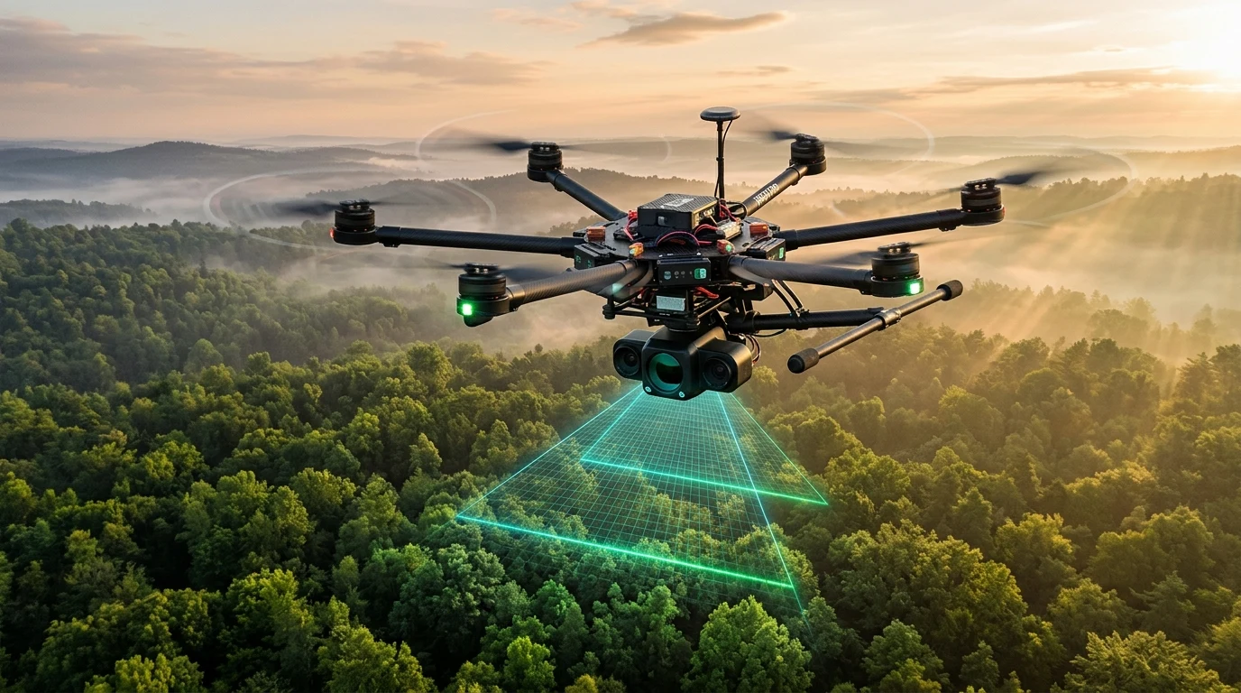
Forestry & Wildlife Conservation
Sub-canopy LiDAR mapping, biomass quantification, and night-time thermal patrols that track wildlife populations, detect deforestation, and monitor habitat health unobtrusively.
Environmental Consulting
Comprehensive aerial baselines for Environmental Impact Assessments (EIA), wetland delineation, coastal erosion tracking, and long-term soil remediation verification.

Water Resource Management
High-resolution aerial surveys for watershed mapping, reservoir capacity estimation, shoreline degradation tracking, and multispectral detection of hazardous algal blooms.
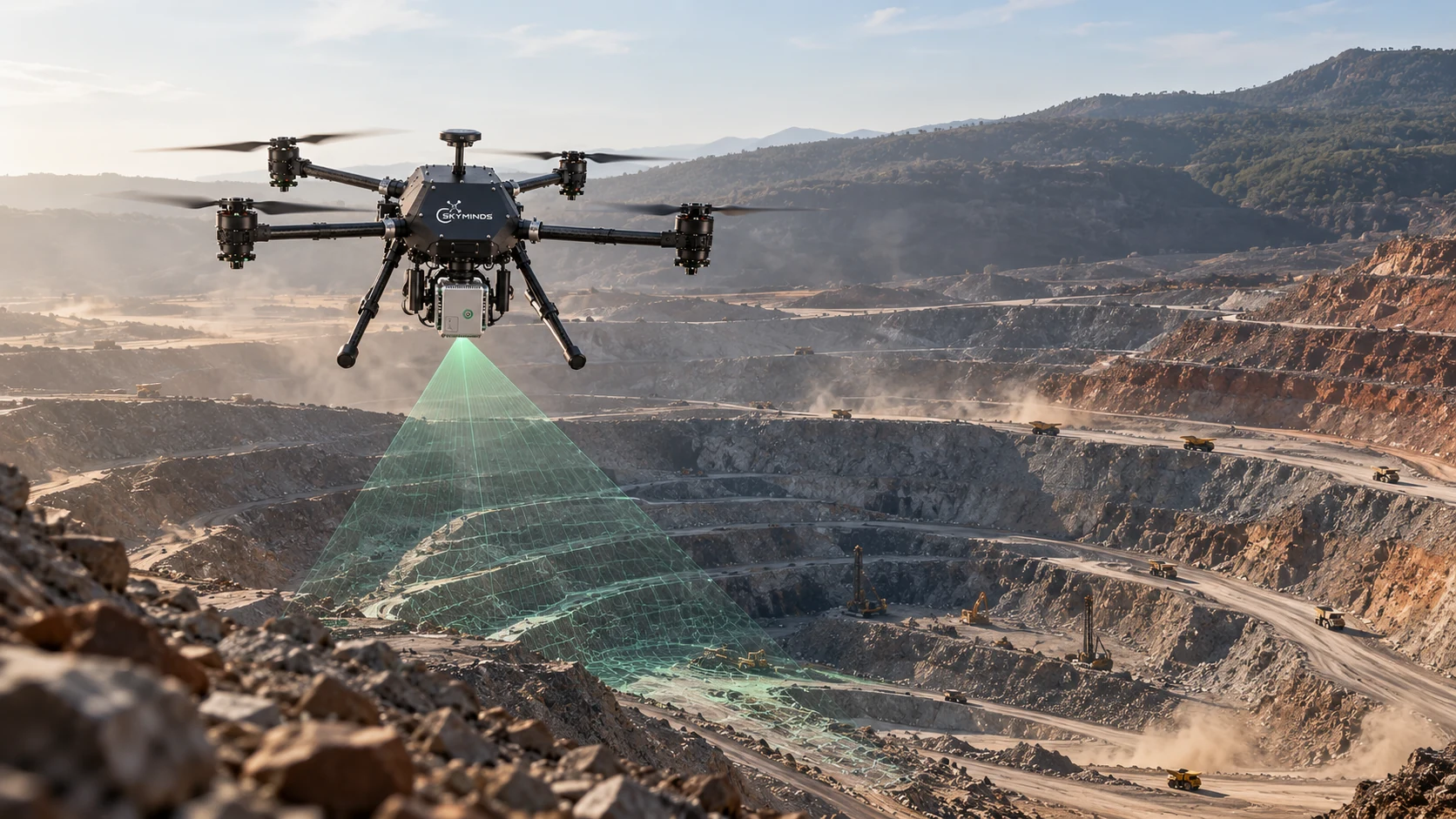
Mining & Natural Resource Management
Continuous tailings dam integrity assessments, acid mine drainage runoff tracking, and progressive land rehabilitation monitoring across active and retired extraction sites.