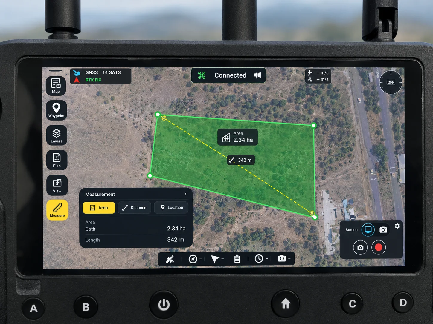
Mission Planning
- Waypoint planning
- Route definition
- Survey-area planning
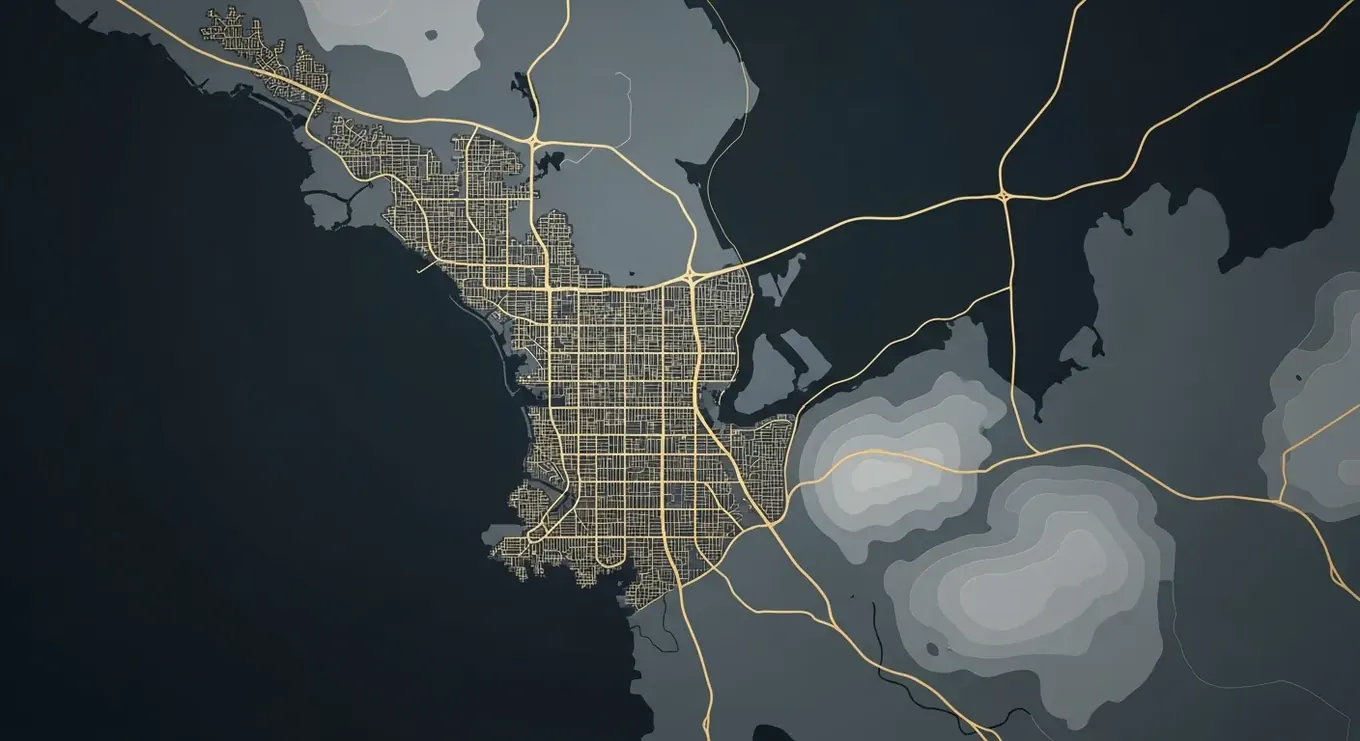
An in-house Ground Control Station engineered for precision UAV operations.
Request a demo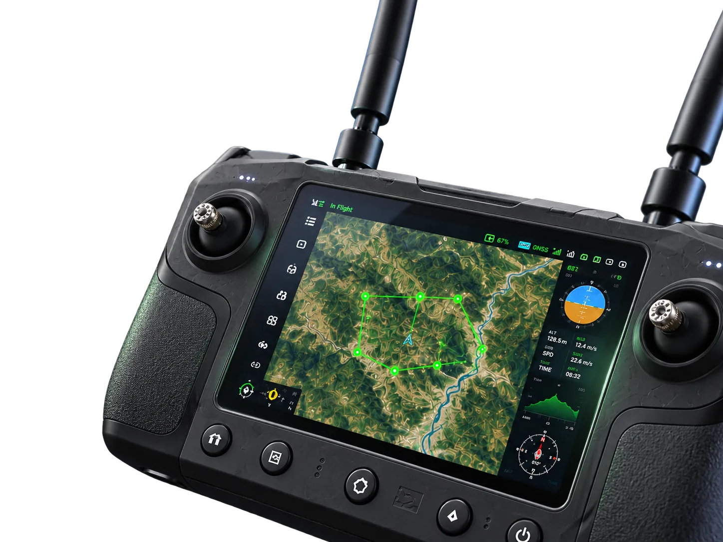
Intuitive. Reliable. Mission-ready.
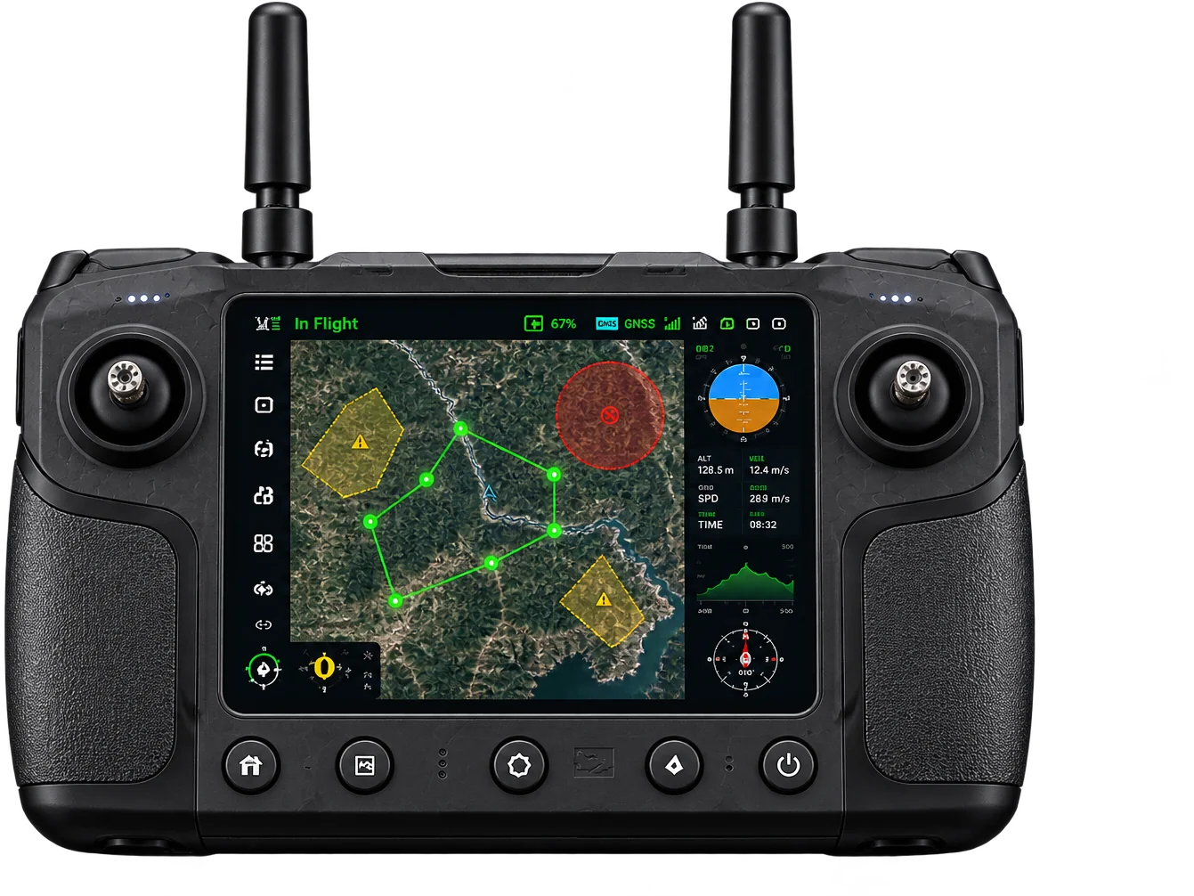
Strictly restricted areas where flying is not permitted.
Areas with special permissions or altitude restrictions.
Approved areas for uninterrupted and compliant flight operations.
Built-in geofencing and airspace awareness keep your missions safe, compliant and worry-free.
From mission file to flight in three steps. See it run on your own survey area.
Request a demomission files
flight & parameters
with confidence
A single drone platform. All the payloads you need. Swap payloads as per your mission requirements and control each one through the GCS.
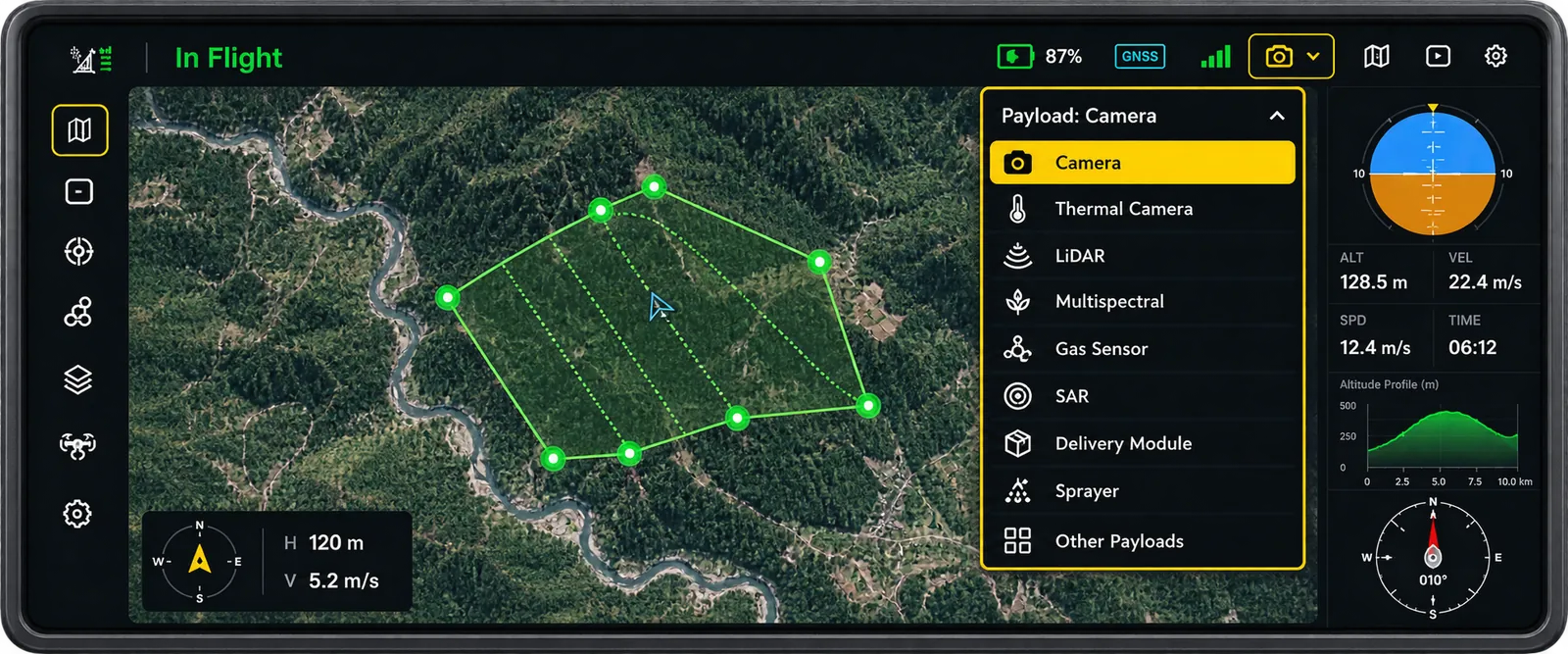

Plan, monitor and control your entire operation from a single, powerful interface. Access real-time data, manage payloads, and stay in control — anywhere, anytime.
Explore GCSMapping & Surveying
High-precision data collection
Terrain & Elevation
Detailed terrain models
Secure Access
Authenticated & encrypted
Distance Based RTL
Safer operations, always
From accurate distance and area measurements to precise volume calculations, get the data you need, right when you need it.
View measurement tools