The Sentinel
Strategic Surveillance
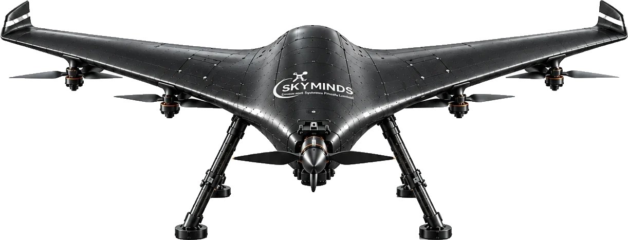
High Altitude. AI-enabled Long Range High Endurance strategic surveillance for armed forces with object identification and tracking feature.
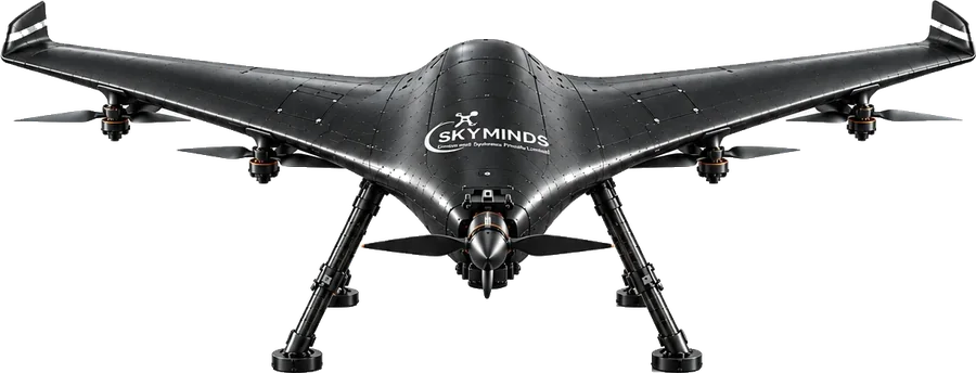
Technical detail
Built for Real-World Performance
The Sentinel combines reliable flight performance with advanced mapping capabilities, giving you the confidence to operate in demanding environments and get high-quality, accurate data, every time.
Superior Accuracy
High-precision mapping for reliable data.
Longer Endurance
Extended flight time for larger coverage and efficiency.
All-Terrain Capability
Handles challenging environments with ease.
Advanced Autopilot
Smarter navigation, safer operations.
Modular Design
Quick integration of swappable payloads.
Rugged Build
Engineered for reliability in the field.
One Platform. Multiple Missions.
The Sentinel supports a range of swappable payloads, allowing you to adapt to different mission needs, from high-resolution mapping to thermal inspection and beyond.
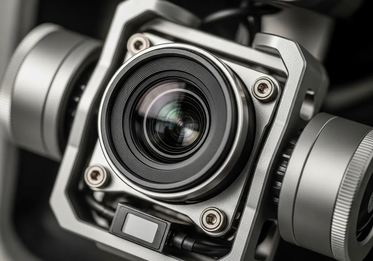
RGB Camera
High-resolution visual mapping and inspection.
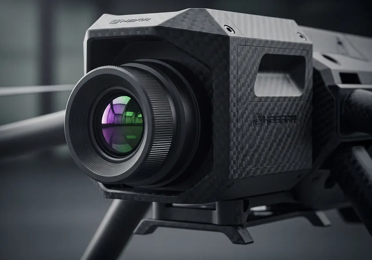
Thermal Camera
Detect heat signatures and spot anomalies.
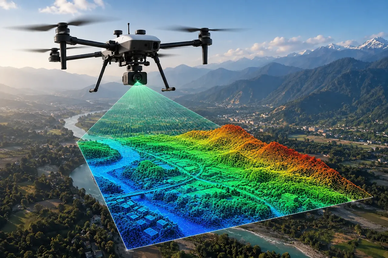
LiDAR Sensor
High-precision 3D mapping and terrain analysis.
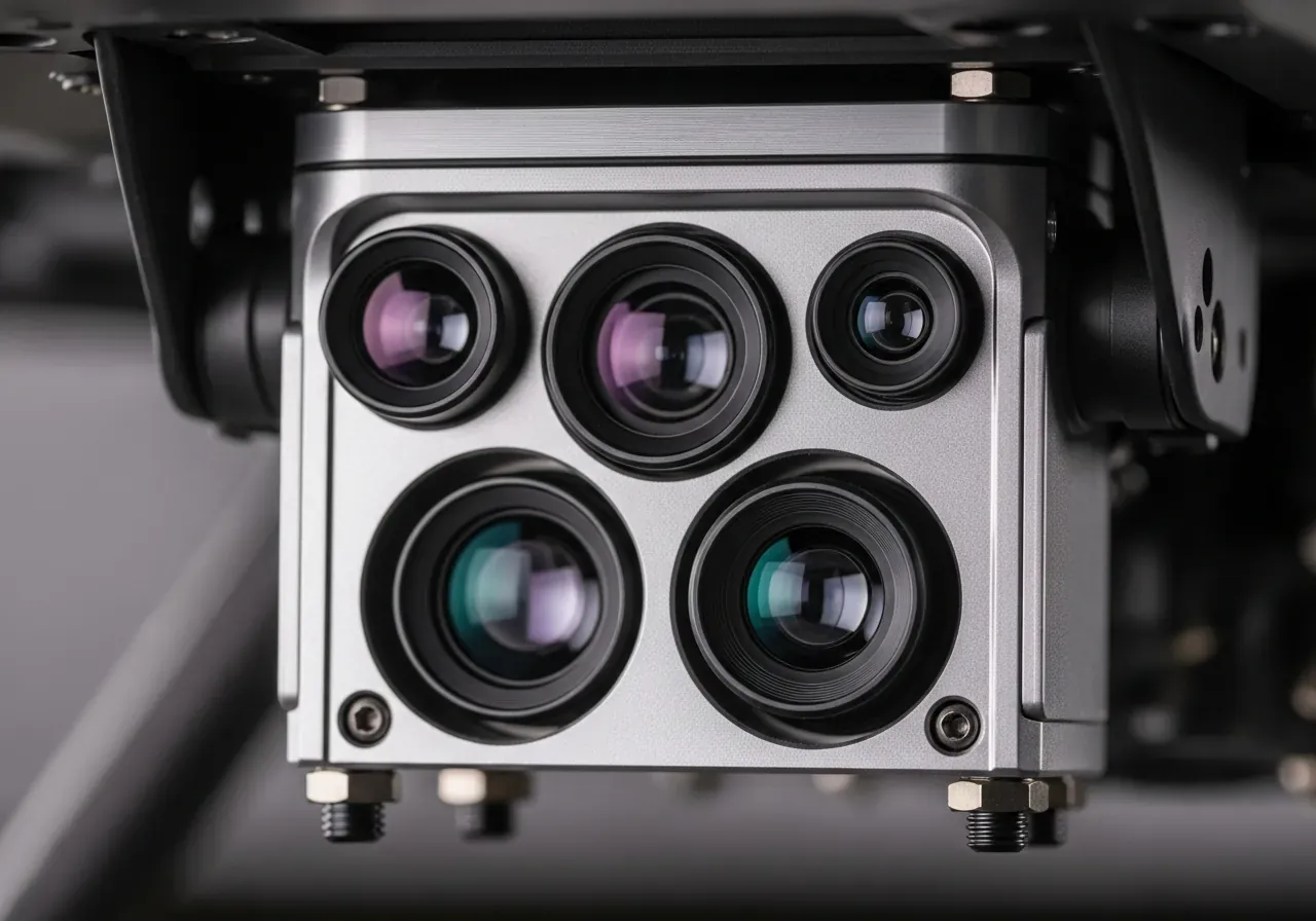
Multispectral Camera
Analyze vegetation health and crop conditions.
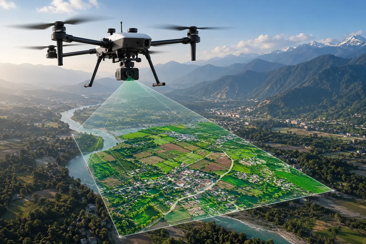
Oblique Camera
Capture angled imagery for detailed 3D models.
Ready for Your Next Mission?
Get in touch with our team to learn more about the The Sentinel and find the right configuration for your operations.
Contact Us